Impressions


Trip description
Parking lot Zumis to Ronerhütte
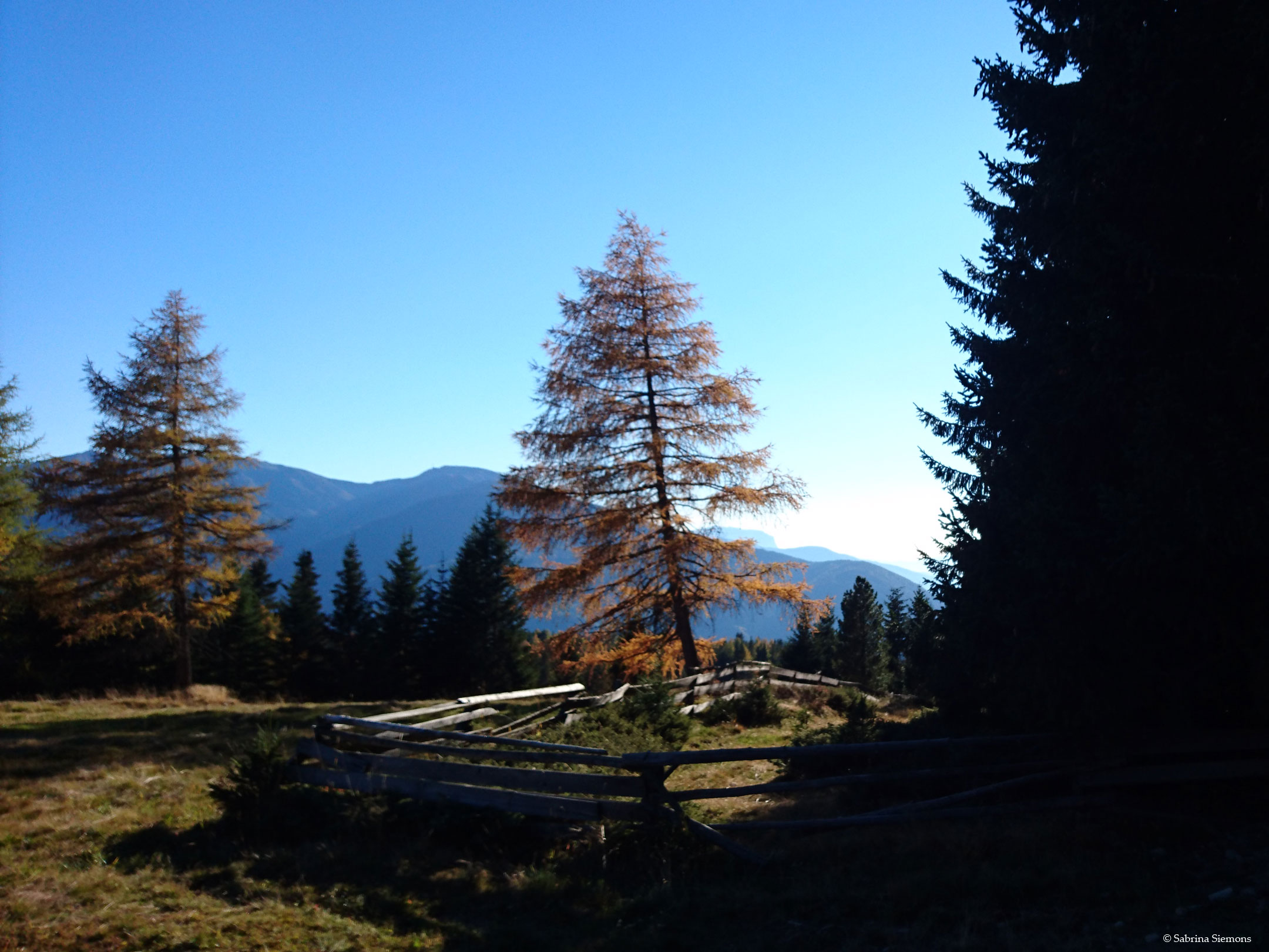
Shortly after the start at the parking lot Zumis, directly in front of the Platzer Alm, there is the possibility of a short detour to the Oberhauser Hut to make. Since we want to hike a little further, we take the pleasant forest path (no. 4) towards Ronerhütte. We reach this in about 3/4 of an hour, initially walking through a sparse larch and red spruce forest, which is then replaced by the pastures of the Hochalm. If you like, you can take a short rest in the Ronerhütte (steep short climb to the hut).
From the Ronerhütte to the Pian Chapel of the Cross
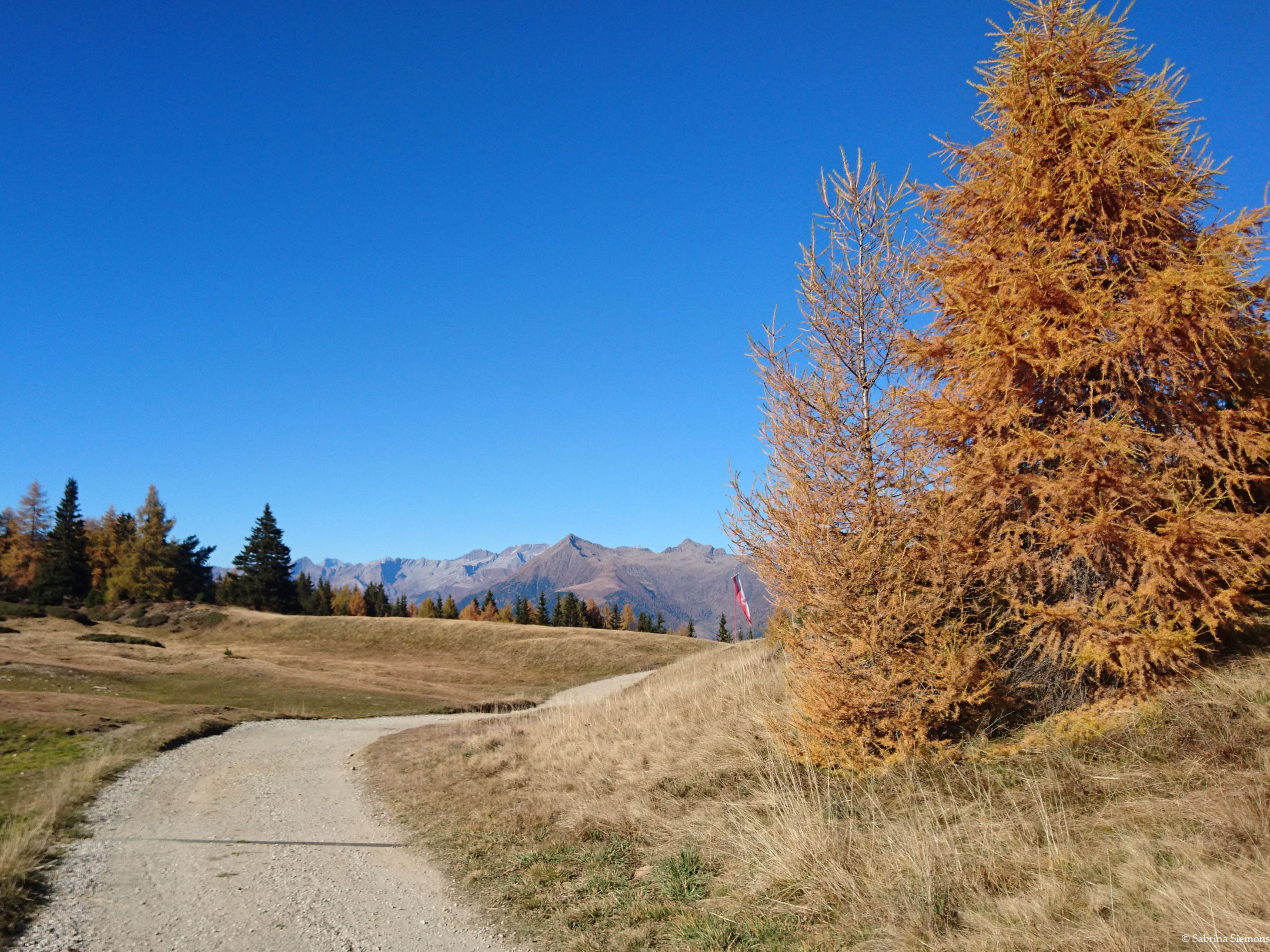
If you want to continue, follow the forest path, which turns right some time before the Ronerhütte hut, towards the Rastnerhütte/Starkenfeldhütte hut. This section of the trail (approx. km 2.4 - km 2.6) up to the Pianer Kreuzkapelle (1,901 m) is the most strenuous and difficult part of the trail with a gradient of up to 13%. During our visit, however, we had no problems mastering this, as we were travelling in pairs and used the traction motor/wheelchair to drive up the steeper parts backwards. Also the ground was dry, so we didn't have to avoid any muddy spots. Since there are also cattle on the mountain pasture, there can be broken places directly around the mountain pasture after rainy weather. There are also cattle grids to cross and if this is not possible with the wheelchair, it is easier to avoid them when the path is dry.
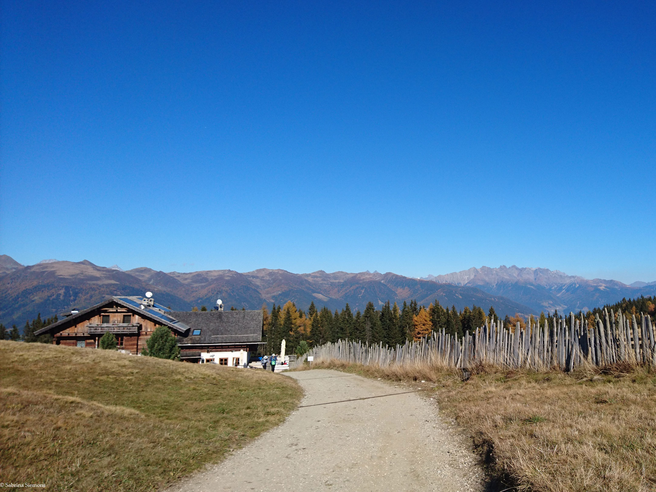
From the Kreuzkapelle to the Rastner Hut
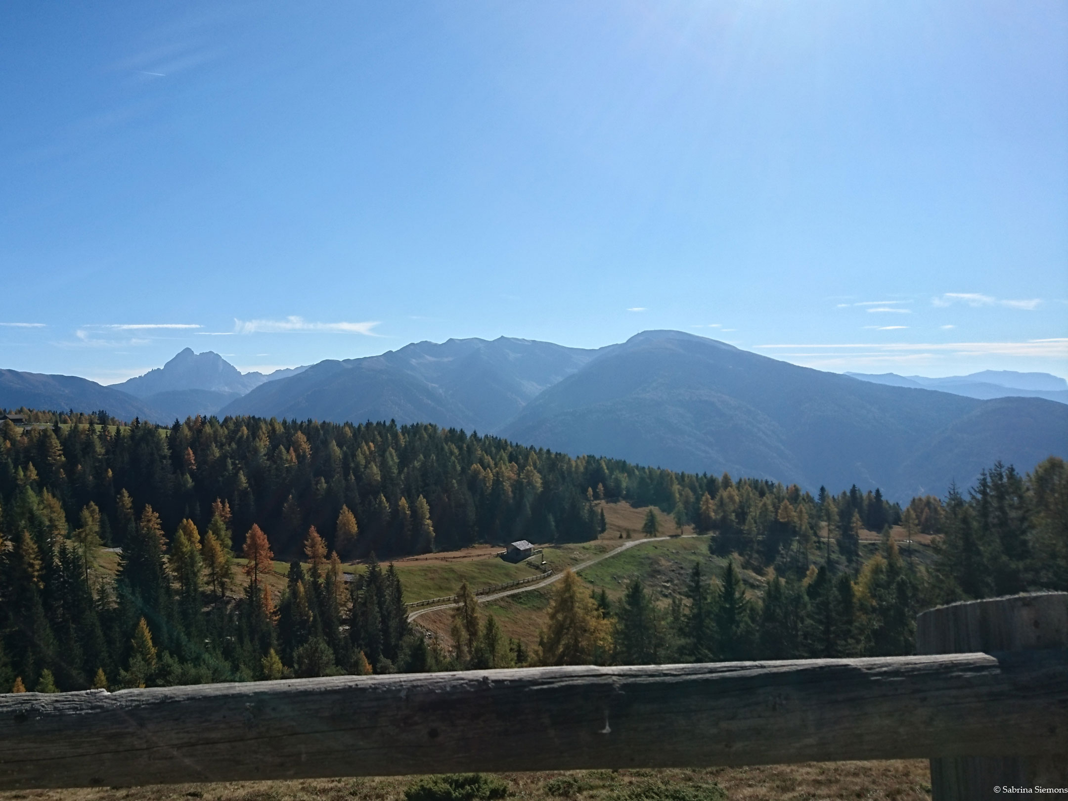
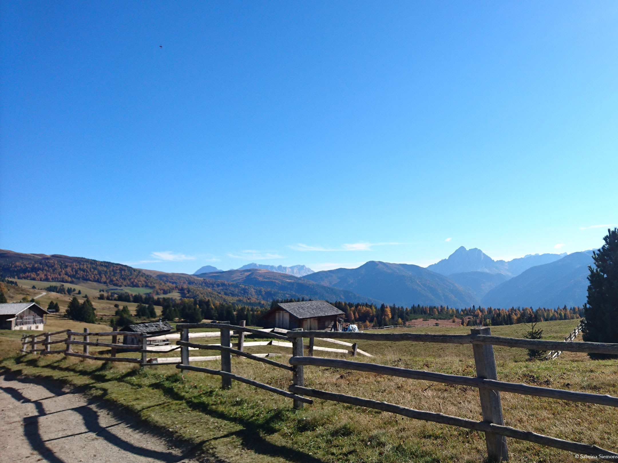
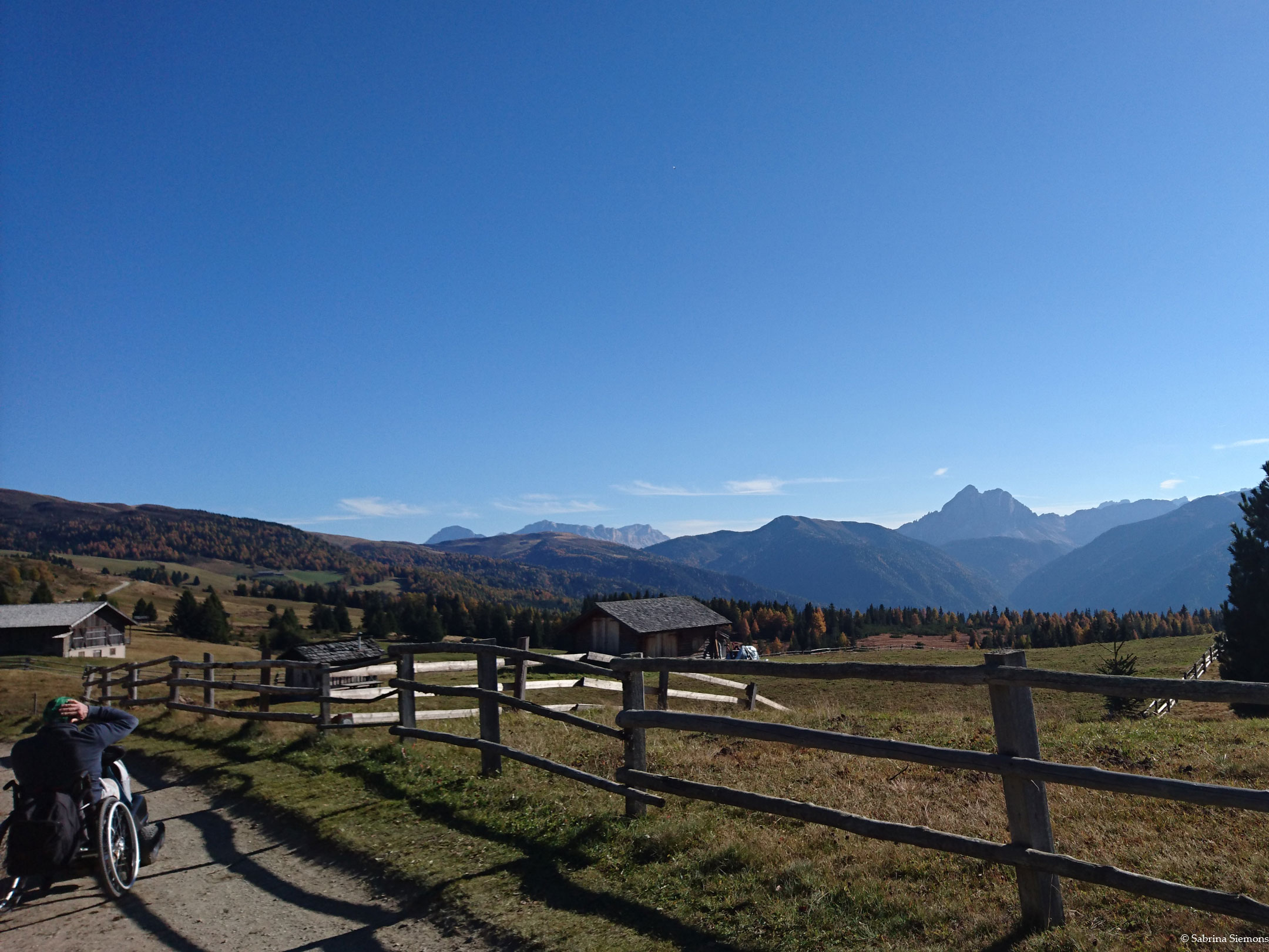
From the Kreuzkapelle chapel, the forest road winds only with slight changes in altitude through the meadow landscape of the Hochalm past a few typical wooden huts. After about 4.3 km from the parking area, you reach a vantage point. Here the individual peaks of the mountain landscape are explained. The view of the Dolomites and the Eisack valley is wonderful. From here, after about 1 km, you come to a fork in the road where you have to choose between the Rastner and Starkenfeld huts. Both can be reached in about 5 minutes. The Starkenfeldhütte with its new building can already be seen in the distance. We decide for the RastnerhütteFrom there we can enjoy a view of the Zillertal Alps, the Großglockner, the Geisler Group, the Ötztal and Stubai Alps and turn left.
The way back is the same as the way there.
Trail conditions
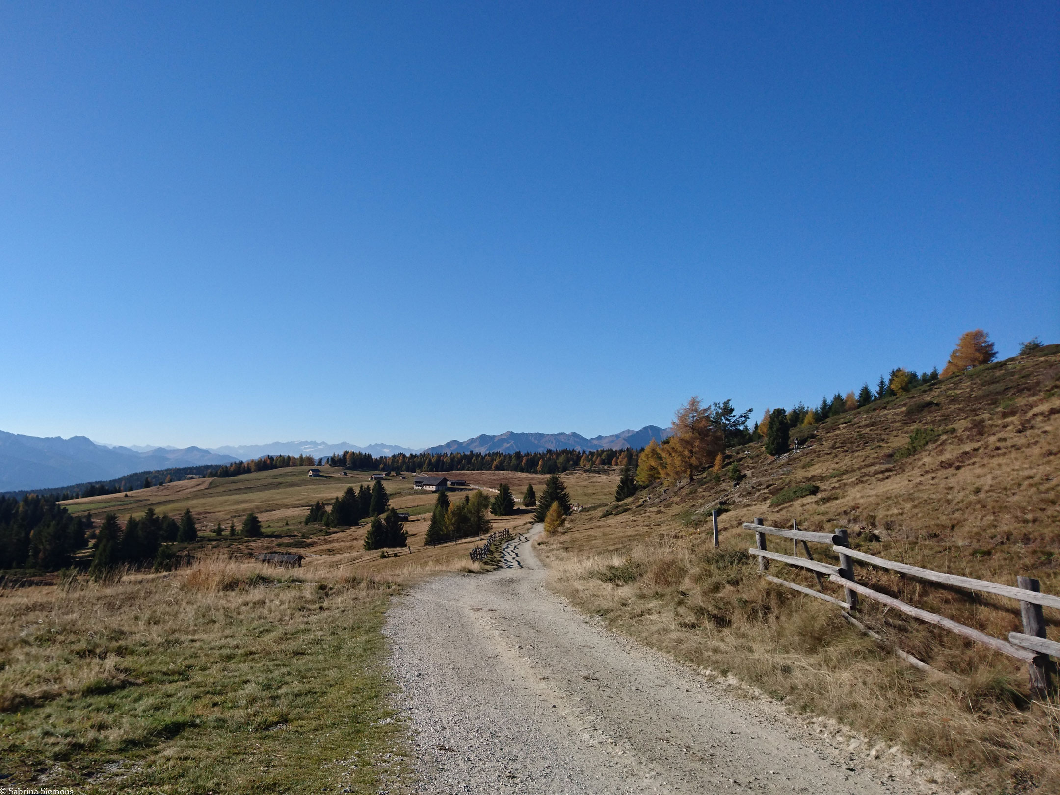
Continuously wide, unpaved forest road with fine gravel.
Directions
Approach via Brixen in the direction of Mühlbach. In Mühlbach direction Rodenecker Alm to the parking lot Zumis. The car park has 1 not very wide disabled parking space right at the beginning on the left by the ticket office. The parking lot is chargeable. Possibly use the possibility to park behind the parking lot at the roadside (forest road), should the disabled parking lot be occupied by other cars.
Time requirement
There and back in total about 3 hours.
Difference in altitude
The trail climbs slowly to an altitude of 1,887 m. The difference in altitude of 200 m is easily manageable.
Suitable wheelchair
- Wheelchair with traction device
- off-road power wheelchairs
Accompanying person
Not necessary for experienced riders. Those who are unsure can take a little pushing help in the form of an escort.
Level of difficulty
Medium
Explanation
It is a well passable, unpaved forest road with good, partially packed gravel. The gradient is easily manageable.
The trail can be mastered by wheelchair users with a traction motor up to the Ronerhütte on their own without any problems. An accompanying person is not absolutely necessary. Experienced wheelchair users with a stronger traction motor can also manage the somewhat steep stretch to the Kreuzkapelle without any problems; if you are unsure, you should possibly drive up backwards.
Resting facilities
Oberhauser Hut, Ronerhütter, Rastner Hut, Starkenfeld-Plunahütte, Grimatzealm
Tested:
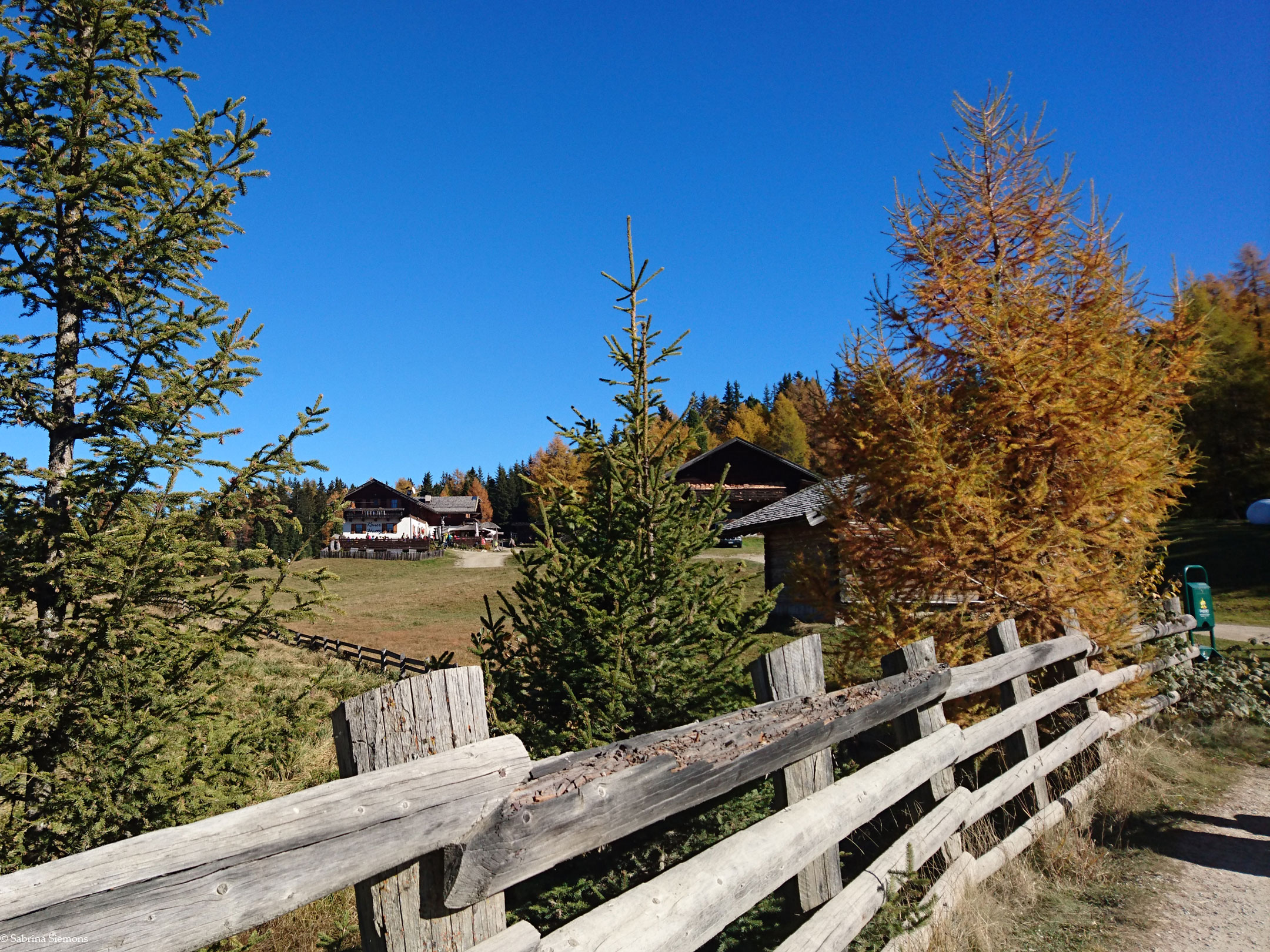
- Rastnerhütte (1,931 m): From the forest road you reach the Rastnerhütte via a steep descending path (also for bicycles) of about 50 m, because the hut is located in a small depression. The terrace is barrier-free (pavement). According to the Touristmusverband, the Rastnerhütte is classified as barrier-free, but we have not yet been able to verify this.
- Ronerhütte (1,832 m): Is accessible via a short steep climb. The terrace is barrier-free (wooden flooring).
- Starkenfeld Hut (1,930 m): Is easily accessible via a short steep climb. The cottage has recently been completely renovated and rebuilt in a modern style. Access and terrace are barrier-free (bar area has one step).
Accessible toilet
In the Platzer Alm at the parking lot Zumis there is a barrier-free toilet. When we were there, it was not locked. Unfortunately, as far as we know, there are no barrier-free toilets in any of the following huts.