Impressions


Trip description
From the car park to the mountain hut Großberghütte
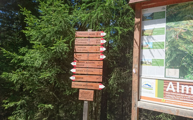
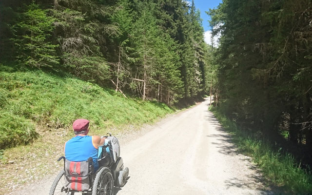
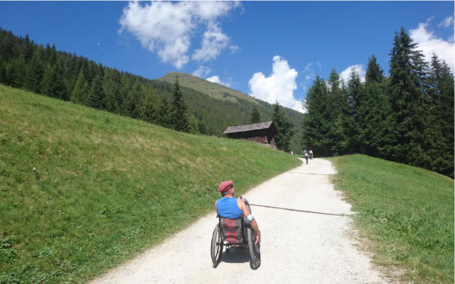
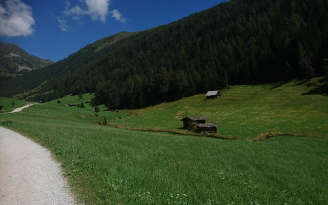
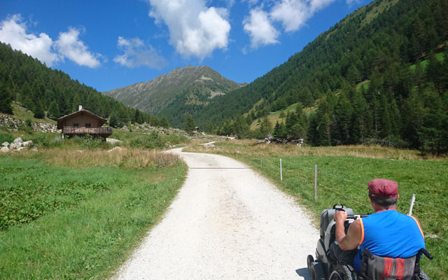
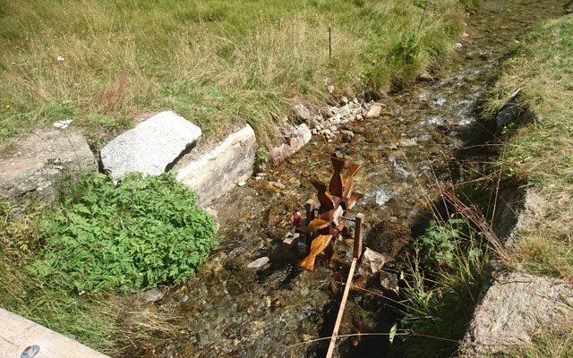
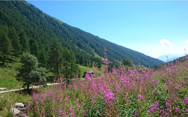
From the car park at an altitude of about 1,530 meters, we follow the closed forest road in the direction of the mountain hut Großberghütte.. At the crossroads, we always keep to the right and follow path no. 15. The path leads initially slightly downhill to the Kneipp facility and leads through a picturesque mixed forest to the actual Valle d’Altafossa. When you arrive at the mountain hut Großberghütte, you can enjoy the valley for the first time and have a clear view of the mountains Gitsch (2,510) on the right and the Gaisjoch (2,641) on the left. Up to here, the path leads through the forest with a maximum gradient of 5%.
From the mountain hut Großberghütte to the mountain hut Wieserhütte
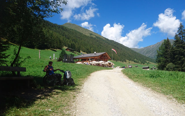
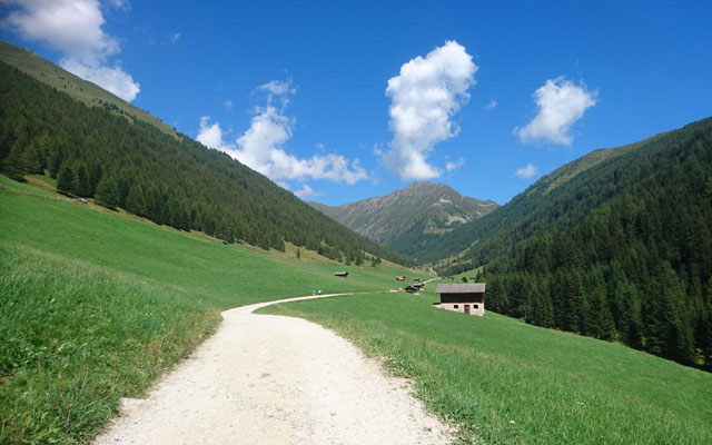
From now on, one alpine hut follows the next. Most of the alpine huts, however, are uncultivated and only for private rent. We follow the path, which is easy to follow with gradients of up to 15%,cross the stream Altofossa more often and reach the end of the valley after about 1 1/2 hours. Here we can choose between the mountain hut Wieserhütte (further left) or the mountain hut Pranter-Stadlhütte (further right). If you want to eat and drink something, you should choose the Pranter Stadlhütte because of its location. The mountain hut Wieserhütte is, unfortunately, a little elevated and therefore cannot be reached by wheelchair.
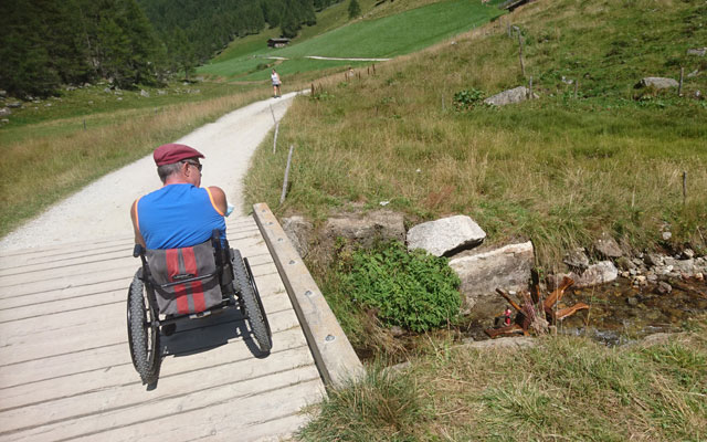
For the way back, we choose trail no. 16 at one of the Kneipp facilities, which leads us through the forest on the other side of the stream, above the valley. Just before the car park, the path no. 16 meets path no. 15 again, which we have already followed on the way there. If you prefer sunshine, take the same way back.
Trail conditions
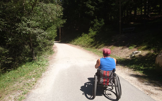
Continuous unpaved forest road with fine white gravel. At the beginning in the forest with some natural covering.
Directions
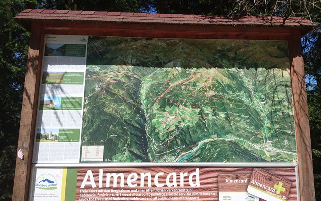
Via the Val Pusteria to Rio di Pusteria. In Rio di Pusteria, follow the signs for Maranza (German: Meransen). Drive through Maranza up to the farm Hinterwalder Höfe (sign „Altfasstal/Valle d’Altafossa“). There is a paid car park.
Time requirement
In total about 2 1/2 to 3 hours.
Difference in altitude
Approx. 300 meters of altitude
Suitable wheelchair
- Wheelchair with traction device
- off-road power wheelchairs
Accompanying person
The path is relatively flat and easy to drive with a traction device. On somewhat steeper sections or if there are large stones in the way, however, an accompanying person can provide good support.
Level of difficulty
Easy
Explanation
The path only shows slight slopes and is easy to drive with fine white gravel. Reversing is not necessary and an accompanying person is not needed with a good traction device.
Resting facilities
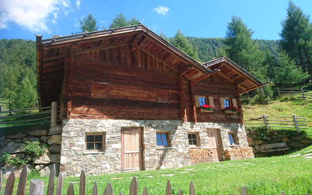
The mountain huts Großberghütte, Wieserhütte, Pranter-Stadlhütte
Tested:
- Großberghütte (1,640 m): The paved terrace of the Großberghütte directly in front of the building can be reached by wheelchair. The interior can also be reached without a step.
- Pranter-Stadlhütte ( 1,850 m): The benches can be reached by wheelchair via a meadow. In some cases, narrow paths were laid with gravel to reach the benches. The hut itself is quite narrow. The extensive children's playground is great.
Accessible toilet
As far as we know, there are no accessible toilets on the mountain huts.