Trip description
Parking lot at the Moarmühle to the Umser pond
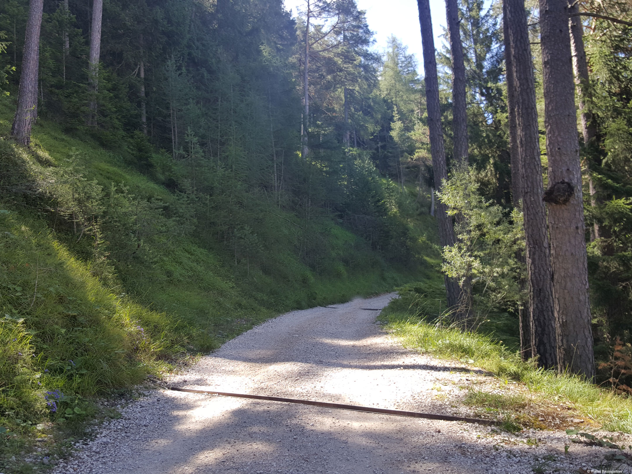
From the parking lot we can go directly in the direction of Hofer Alpl start and drive up the forest road. Already at the beginning, the trail is quite demanding with a gradient of up to 20%. The trail winds up in slight serpentines for about 500 m with this gradient, whereby we pass a bridge on the right in the direction of Völser Weiher and always follow the forest road. The first section is relatively cold due to the proximity of the river and the dense forest, so a hike in summer is recommended. Shortly before the Umser water reservoir, the gradient weakens again to about 10%.
From the Umser Weiher to the Hofer Alpl
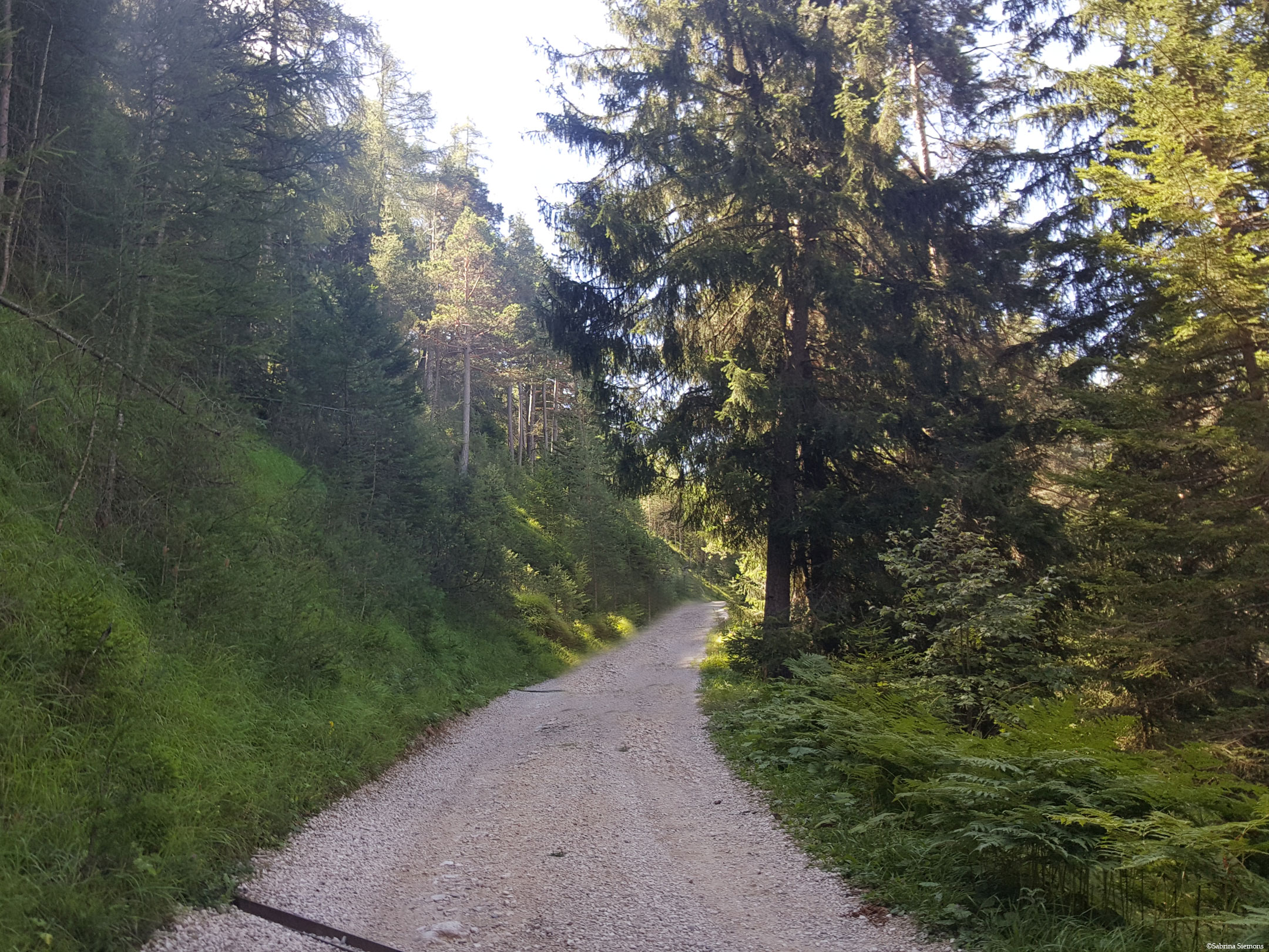
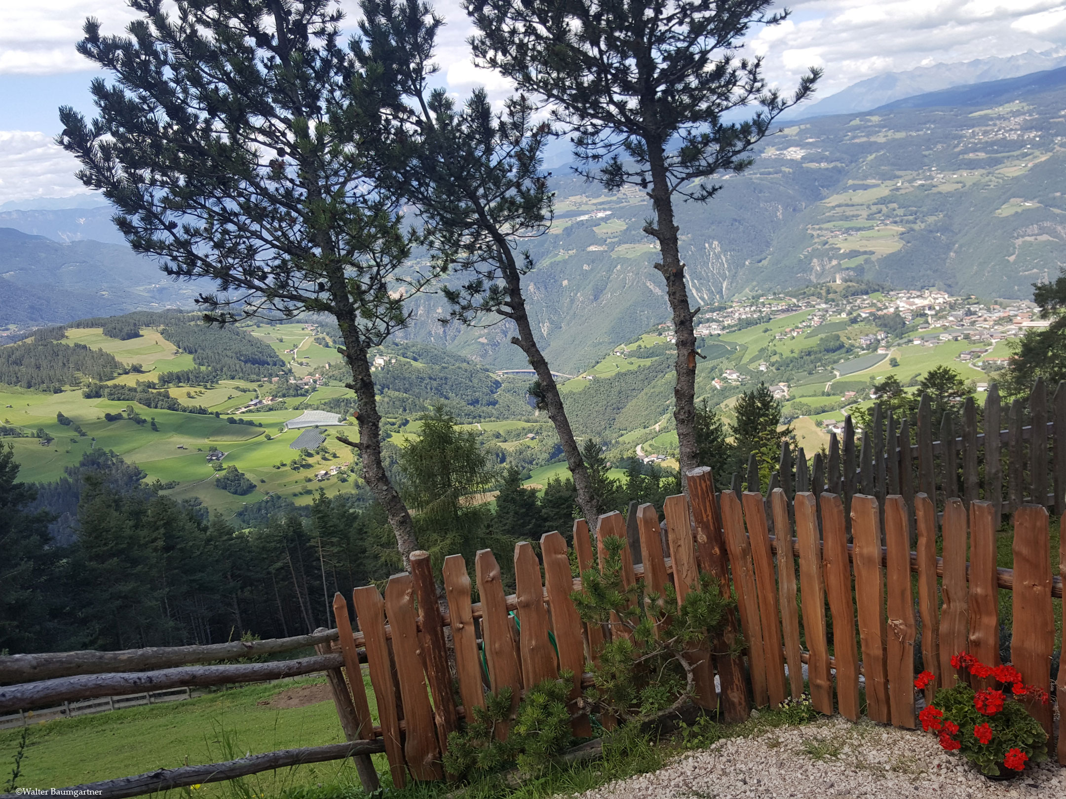
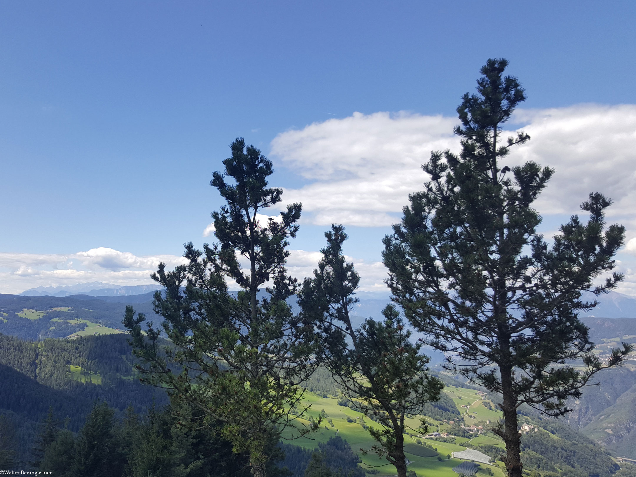
Now we have done about 1/3 of the way. If you wish, you can turn right off the trail and take a short break at the Ums water reservoir and enjoy the beautiful view of Fiè, Ums and the Isarco Valley. The forest road then stretches for 1 km with a gradient of 10% to 20% up the right side of the mountain. The route continues through sparse woodland. After about 1.5 km from the parking lot, the steepest section of the tour awaits us over 400 m with a gradient of 30%, which is easy to manage due to the good surface. The trail then winds left along the mountain and soon meets one of the hiking trails that lead from the Tuffalm lead over to the Hofer Alpl. Shortly afterwards, there is another change of direction to the right and the trail, which until then had been quite pleasant with an average gradient of 10 %, now becomes somewhat more demanding again. The last section has an average gradient of 15% and meets up with a second hiking trail from the Tuffalm shortly before you reach the Hofer Alpl mountain hut on the right.
The way back is the same as the way there.
By loading the map, you accept Google's privacy policy.
Learn more
Trail conditions
Continuously wide, unpaved forest road with partly rough gravel.
Directions
Via Blumau in the direction of Völs am Schlern. From there, take the first exit at the roundabout in the direction of Ums. Park at the Moarmühle car park and start the tour to Hofer Alpl from there.
Time requirement
There and back in total about 2 1/2 to 3 hours.
Difference in altitude
Approx. 450 meters of altitude have to be overcome.
Suitable wheelchair
- Manual wheelchair with a strong traction device
- off-road power wheelchairs
Accompanying person
An escort is not necessary, as the forest road is wide and easily passable. Cars are also often on the road here (hut keepers), which is why the gravel is well packed. Pushing aid or navigation aid when reversing is therefore not necessary here.
Click the button below to download the content of www.komoot.de.
Level of difficulty
Medium
Explanation
This is a well-maintained forest road that can be negotiated without reversing or assistance. The gradients do not exceed 20% except for a short area of 400 m. Inclusion in the medium category is therefore possible without any problems.
Resting facilities
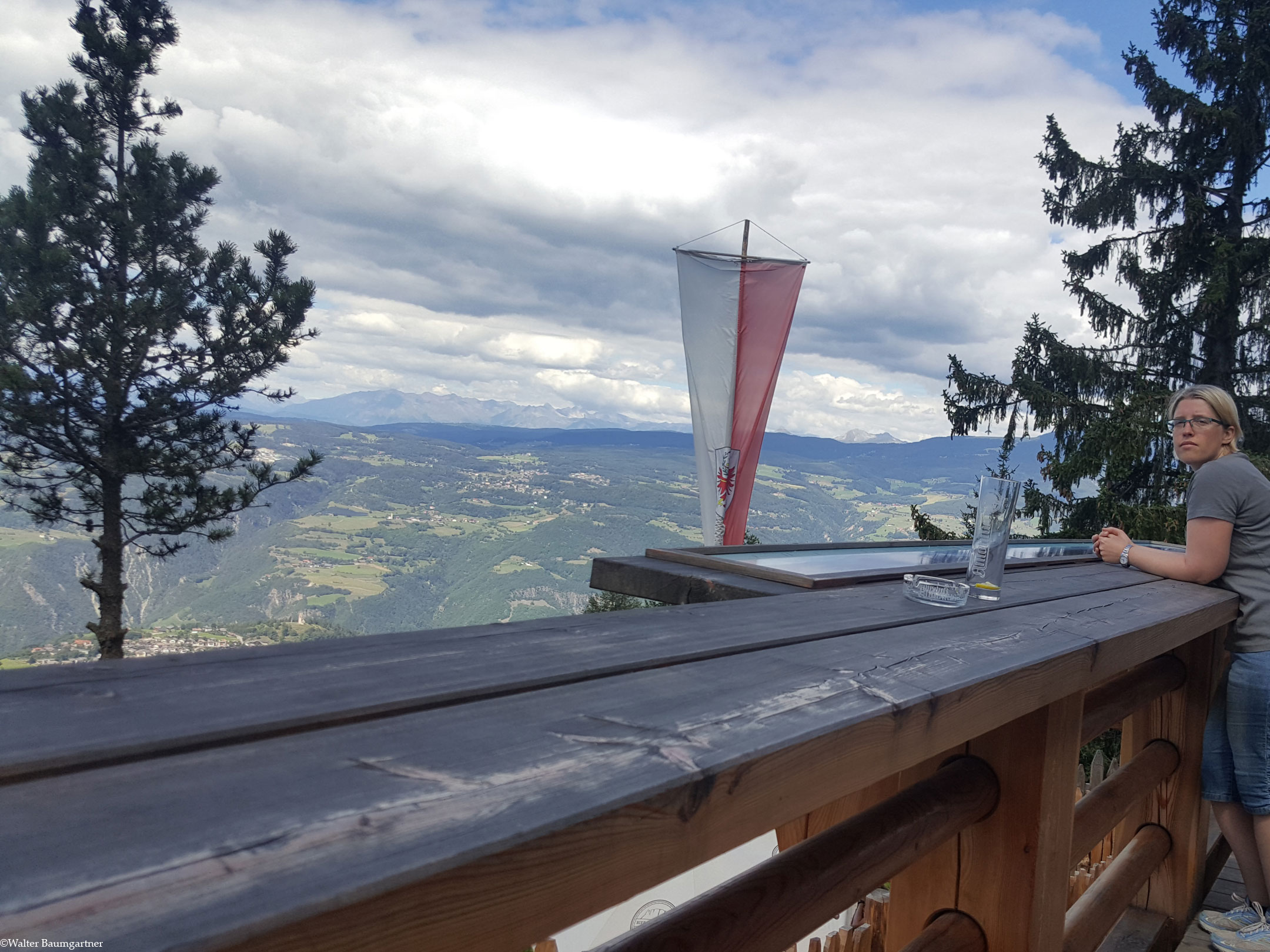
Hofer Alpl alpine hut
Tested:
Accessible toilet
As far as we know, there are no barrier-free toilets on the trail or in the Hofer Alpl.


