Trip description
Parking lot of the Gasserhütte
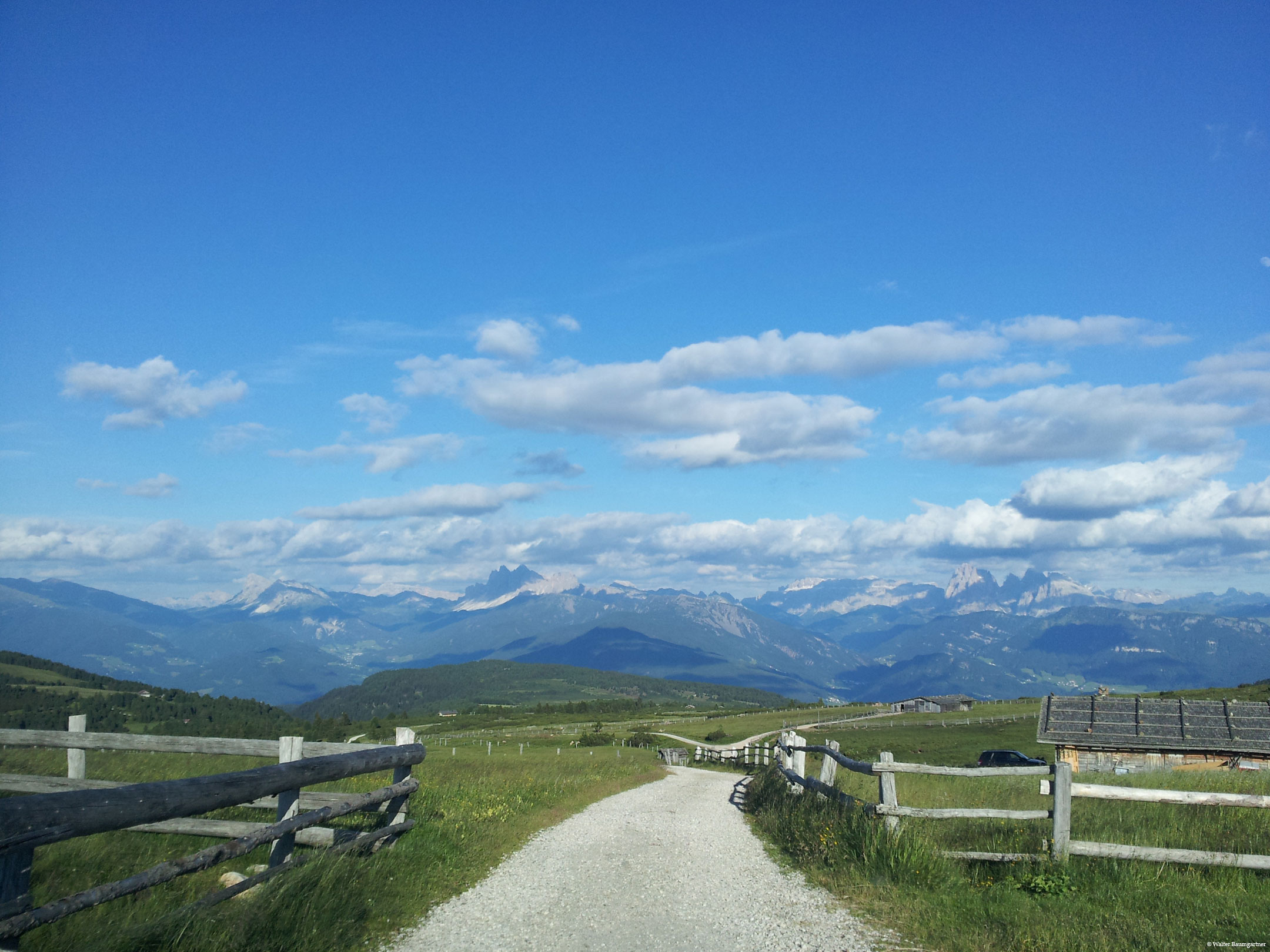
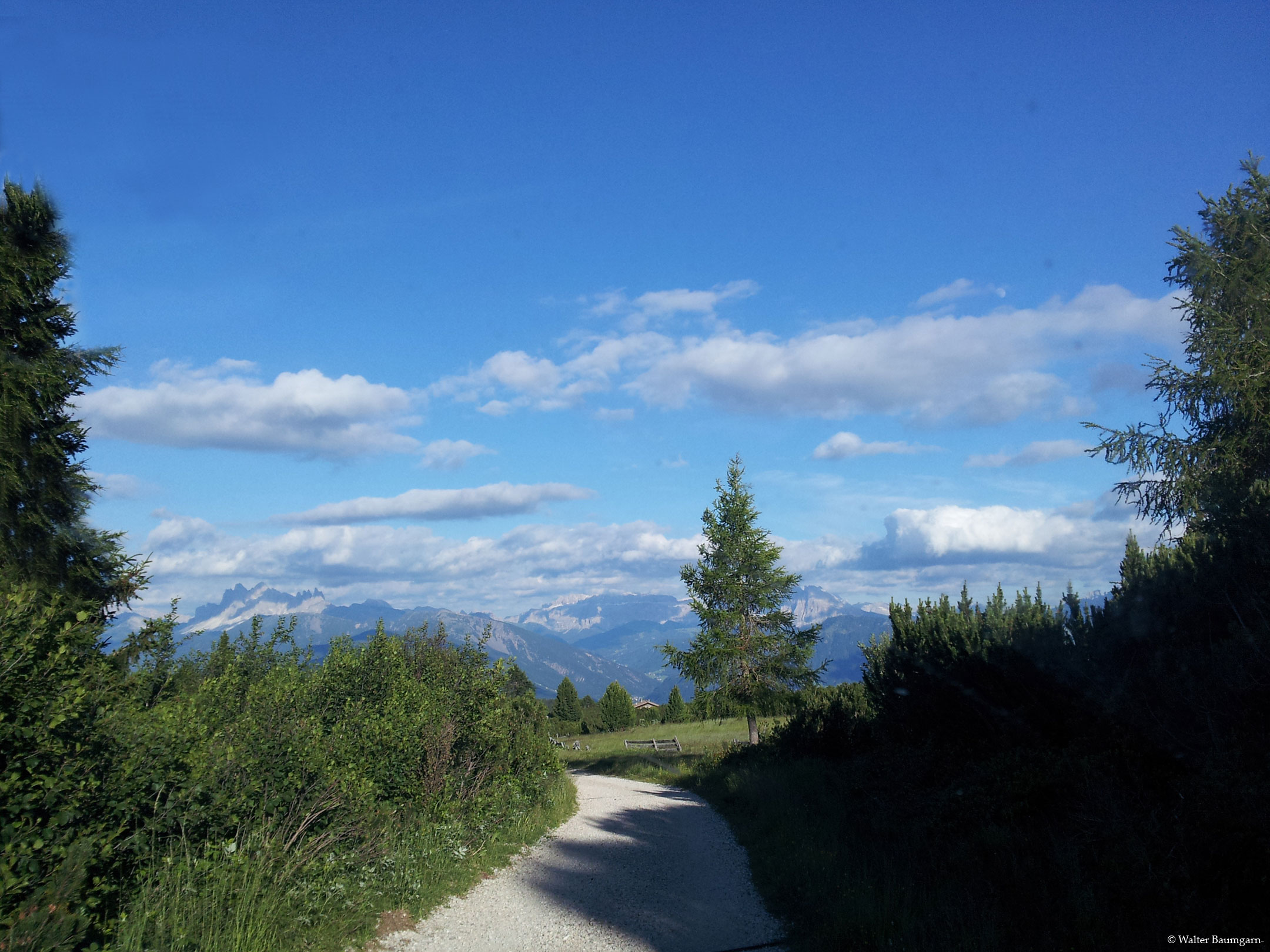
From the parking lot of the Gasserhütte at an altitude of 1,744 m, the trail leads in about half an hour through extensive mountain pine fields, which are typical for the high plateaus, to the Snack station Mair in Plun at 1,860 m. At the beginning we leave the Gasser Hütte on the right and follow the forest road. If you would like to do a shorter round, you can turn right and walk over the Cattle Paddock hike back to the Gasserhütte. (approx. 1 1/2 hours - not tested)
From the Mair in Plun Alm to the Pfroderalm
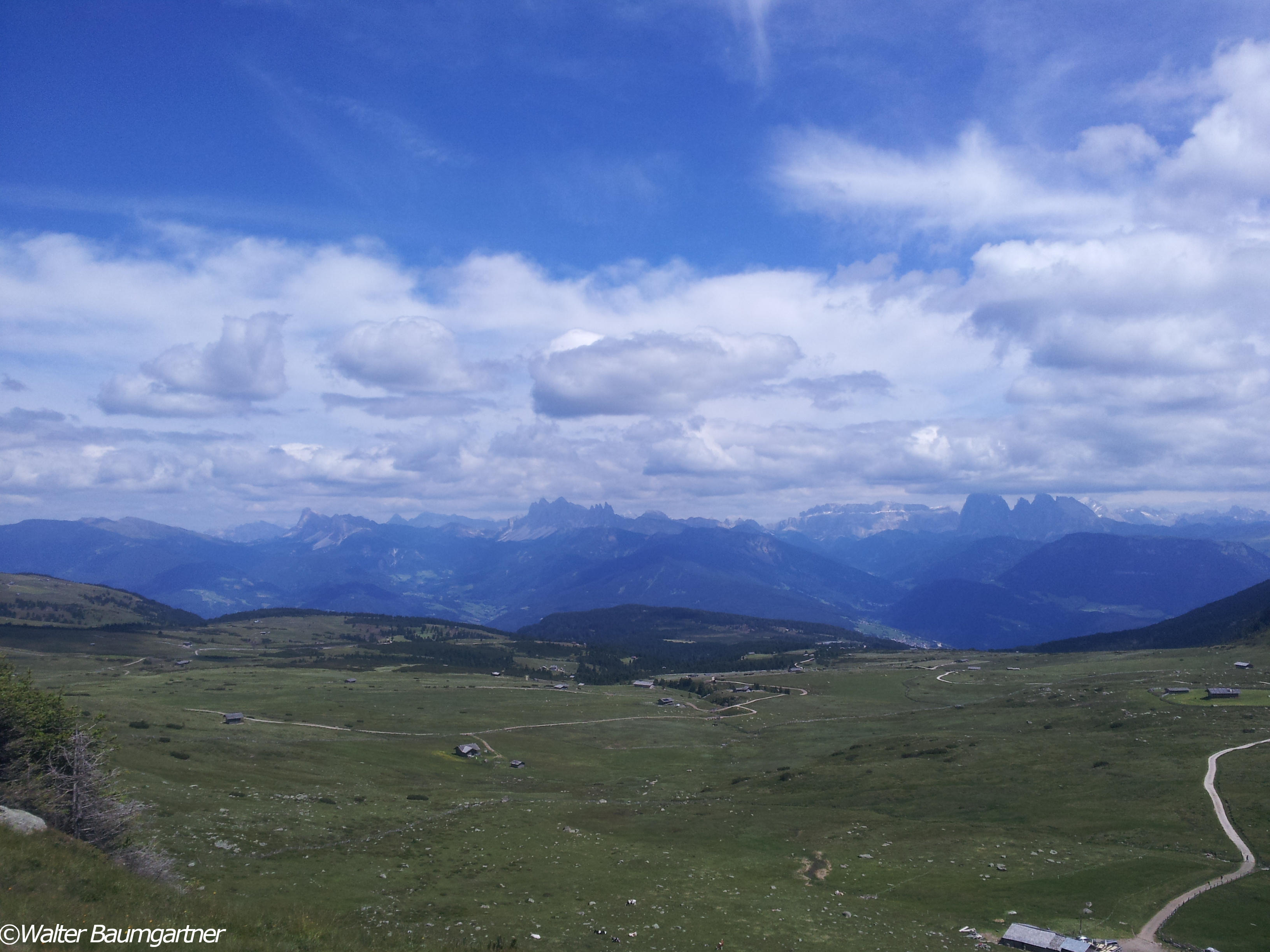
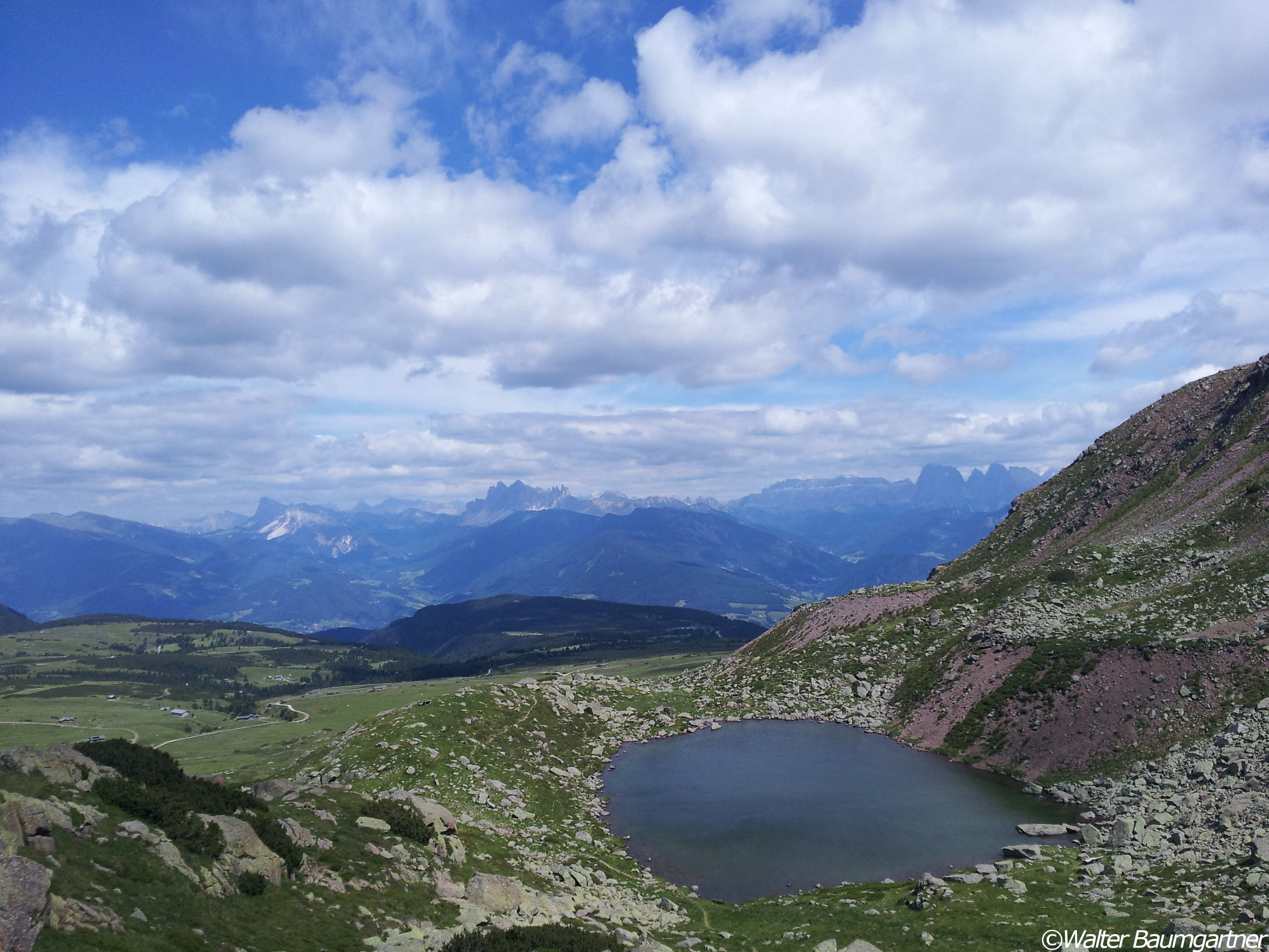
From the Mair snack station in Plun, we follow the trail leading to the right in the direction of the Pfroderalm. Here there is a gradient of approx. 22 % to be overcome on 200 m of trail, but this is the steepest gradient up to the Pfroderalm. During the hike you can enjoy the view from the Villanderer Alm to the Dolomites and the Eisacktal valley, but for this you have to turn around from time to time. Slowly the area opens up more and more and the mountain pines recede, so that we now have the high plateau Villanderer Alm in all its beauty in front of us. After about 3/4 of an hour on the easily passable forest road, we reach the Pfroderalm (2,130 m).
Final spurt to the Totenkirchl
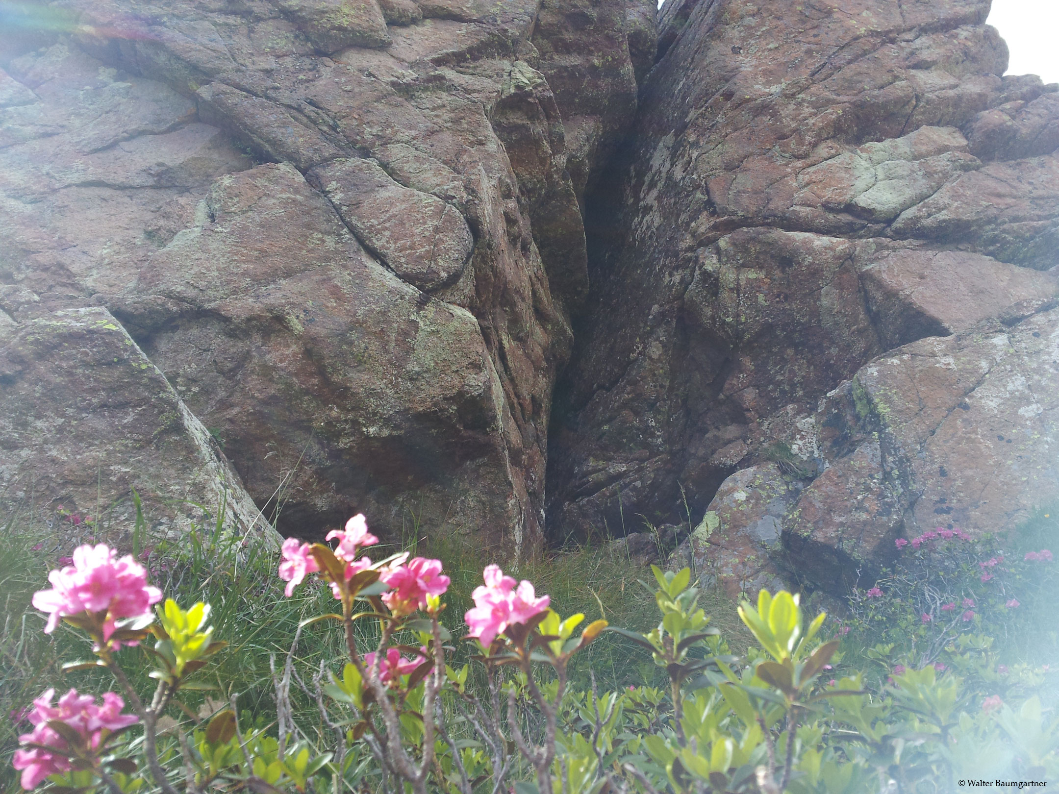
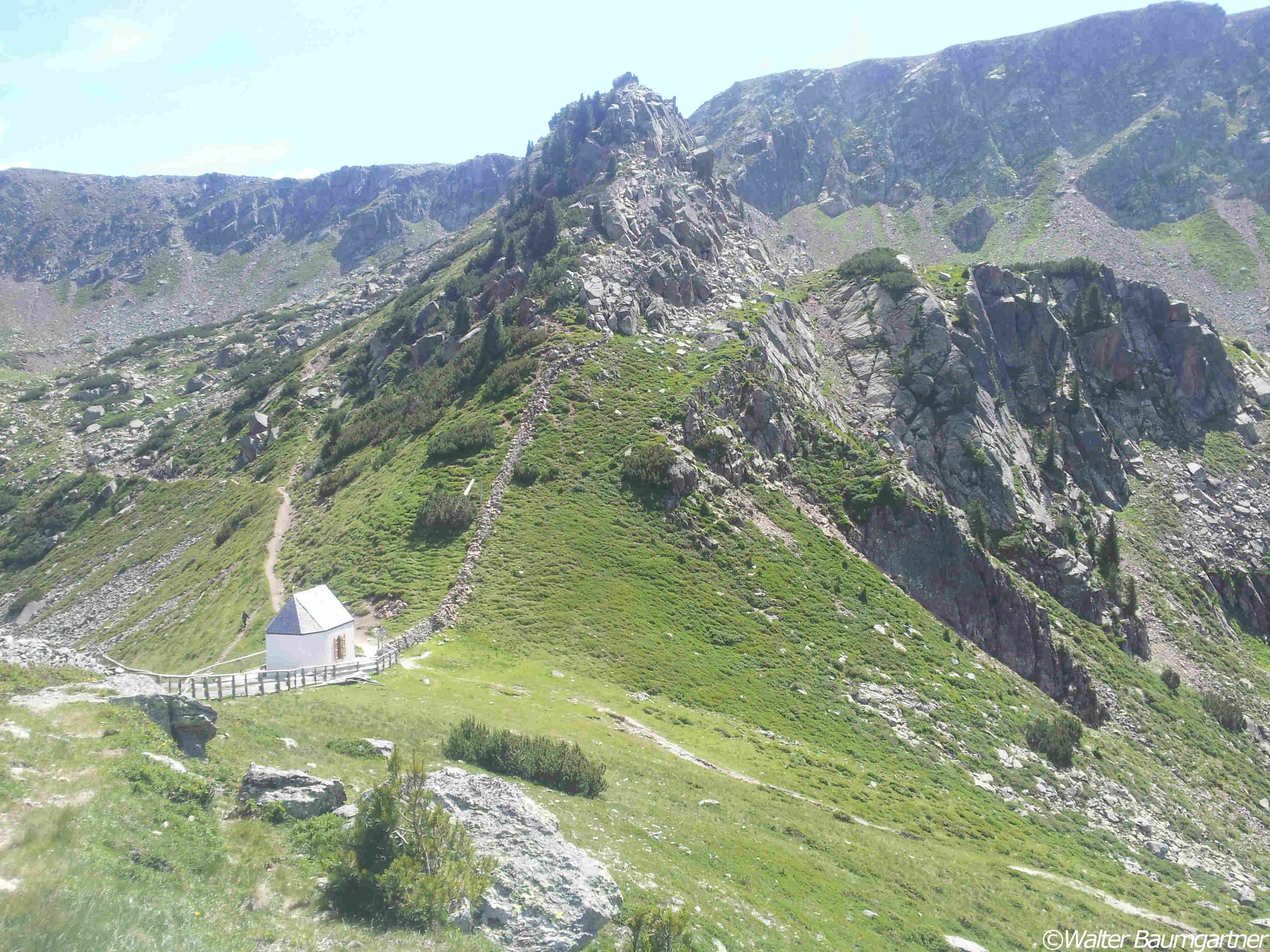
From the Pfroderalm it is now not far to the Totenkirchl, which is famous in South Tyrol. However, the last stretch is a bit tricky, because here we only find a normal hiking trail, which was not designed for wheelchair users. Experienced riders with an accompanying person can, however, dare to give it a try and slowly make their way towards Totenkirchl. An incline of about 20% has to be overcome. However, the view is worth it.
The way back is the same as the way there.
Field report on the Villanderer Alm
Would you like to learn more about the Viallanderer Alm or do you want to do the alternative hike to the Rinderplatzhütte?
Then check out the travel blog of "Weg mit Handicap" over. Franzi and her family love the South Tyrolean mountains and have also written about the Villanderer Alm on their travel blog.
By loading the map, you accept Google's privacy policy.
Learn more
Trail conditions
Continuously wide, unpaved forest road with fine gravel. From the Pforderalm to the Totenkirchl normal, quite narrow hiking trail.
Directions
Via Klausen in the direction of Villanders, there follow the signs "Villanderer Alm" to the car park at the Gasserhütte.
Time requirement
There and back in total about 3 to 3 1/2 hours.
Difference in altitude
Approx. 430 meters of altitude have to be mastered.
Suitable wheelchair
- Wheelchair with traction device
- off-road power wheelchairs
Accompanying person
Up to the Pfroderalm no accompanying person is necessary, if the traction motor is designed for the indicated gradients. From the Pfroderalm to the Totenkirchl an accompanying person should be present, as this is a steep hiking trail.
Click the button below to download the content of www.komoot.de.
Level of difficulty
Medium
Explanation
The route from the Gasserhütte to the Pfroderalm is basically an easy to ride, unpaved forest road, but there are now and then passages that have a steep incline of up to 22%. Since here, depending on the towing equipment, it may be necessary to drive backwards, we have chosen this category. The section from the Pfroderalm to the Totenkirchl is the steepest and should only be ridden if you have the necessary confidence.
Resting facilities
Gasserhütte, Jausenstation Mair in Plun, Pfroderalm (as well as Rinderplatzhütte and Stöfflhütte on other routes)
Tested:
Accessible toilet
In the Jausenstation Mair in Plun there are generously designed toilets near the dining room, which are accessible to everyone.


