Trip description
Parking lot at the end of the village of Vals
From the car park at 1,400 m, we follow the forest road no. 17 leisurely and largely level to the Kurzkofelhütte snack station. From here the path, which now becomes somewhat narrower, leads deeper and deeper into the valley. After about 700 m from the car park, shortly after the Kurzkofelhütte, the first ascent of about 16% takes place, which ends after 200 m and becomes a moderate ascent of about 10%.
From the Kurzkofelhütte to the alpine hut village Fane Alm
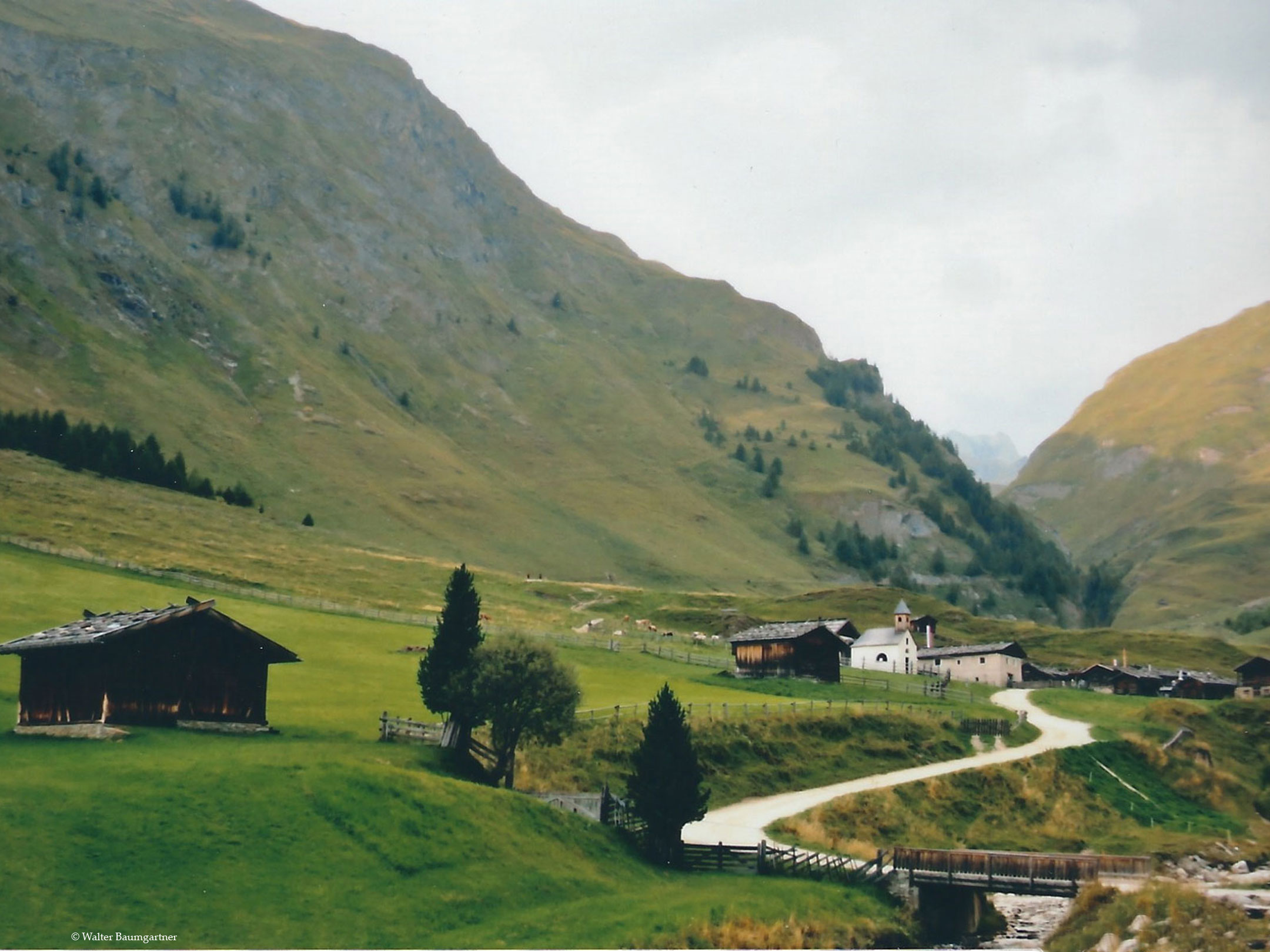
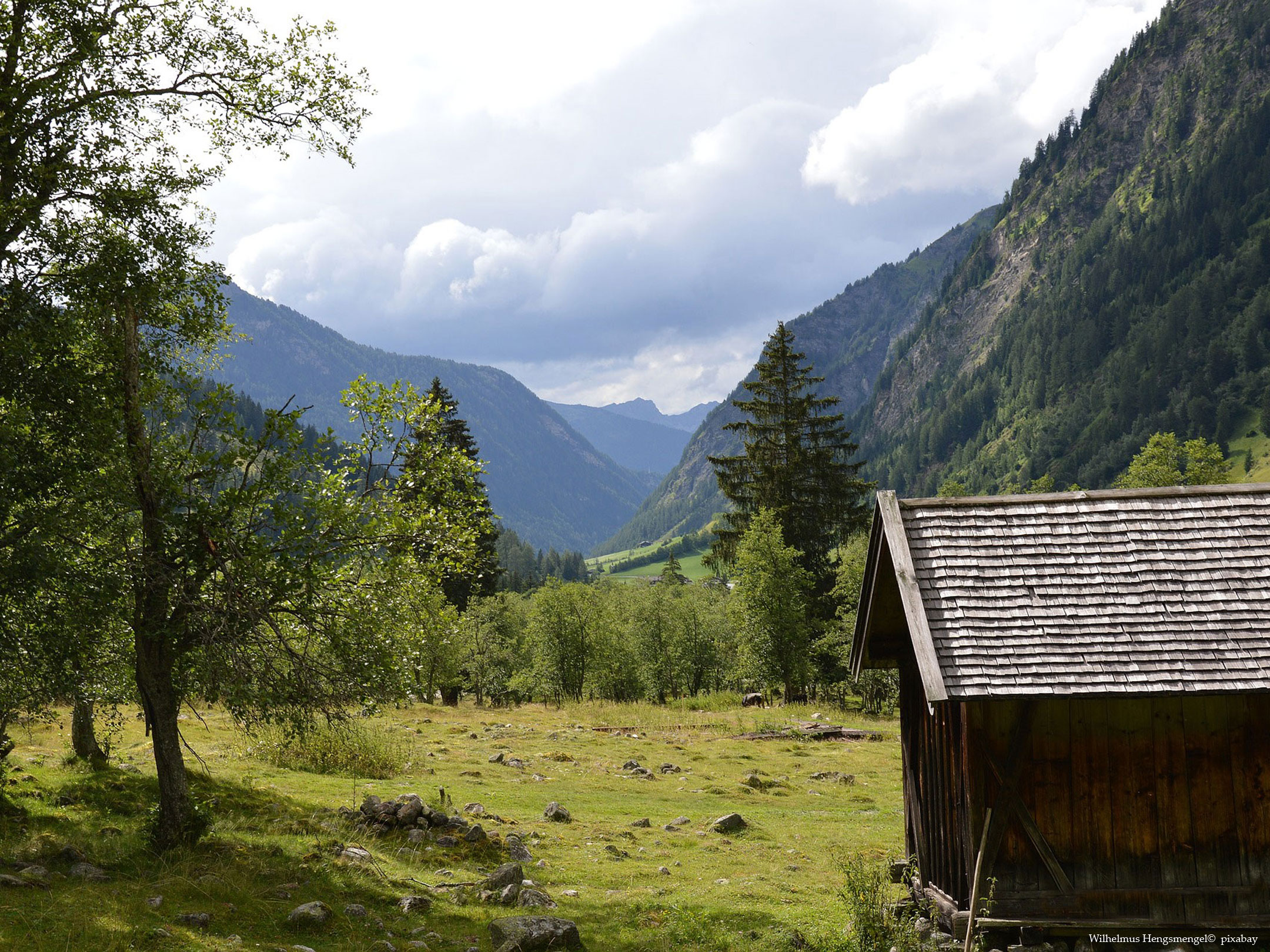
We always hike along the Valser Bach stream, which has carved out a romantic gorge, and can marvel at the Valser mountains such as the Nornspitze in the direction of the valley. Out of the valley you can enjoy the Vals valley in all its splendour. After the short breather now follows a stage with an ascent of 15% - 17% (approx. 600 m after the last ascent), which levels off again shortly afterwards. After crossing the Tschiffernaunbach, which flows into the Valser Bach, the last hurdle follows. The forest road now winds its way up the mountain in serpentines and manages a gradient of 15% - 25 %, which gains height most rapidly in the last section. After that the valley opens up and the path becomes flat again. From a distance we can see the alpine village Fane alp recognize. The pretty alpine huts of the Fane Alm are now home to a number of refreshment stops and provide an insight into the past of the alpine inhabitants.
The way back is the same as the way there.
Tip: Labesebenalm
From the Fane Alm you can continue hiking over a wild gorge and past waterfalls to the Labesebenalm. However, we have not yet tried this route, but have only followed the path for a short distance. In the alpine hut village, one turns left relatively at the beginning and follows the forest road (first no. 17, then no. 18) for approximately 3 km up to an altitude of 2,138 m. Here, the Labesebenalm is located. Here you will find the Labesebenalm, which is reached after about 1 1/4 hours. This extends the total time to about 4 1/2 hours. The trail has gradients of up to 25% and should therefore be well weighed up in terms of feasibility.

By loading the map, you accept Google's privacy policy.
Learn more
Trail conditions
At the beginning tarred, afterwards not asphalted, but wide forest road
Directions
Via the Puster Valley to Mühlbach, from there on to Vals and there through the village to the car park at the entrance to the Vals Valley.
Time requirement
Round trip approx. 3 hours
Difference in altitude
approx. 350 m
Suitable wheelchair
- Wheelchair with traction device
- off-road power wheelchairs
Accompanying person
An escort is not needed if you have no problems with reversing. At the steeper places this is quite reasonable. Should this be rather difficult to do, an escort can provide good support here.
Click the button below to download the content of www.komoot.de.
Level of difficulty
Medium
Explanation
According to the described level of difficulty, this tour should be a black tour due to the gradients. However, the short climbs are the only thing that would make this tour a black tour. The path is well developed, there are always people on the way who can help in case of doubt and a return trip should actually only be necessary on the mentioned climbs. We have therefore opted for the red category decided.
Resting facilities
various huts at the Fane Alm, Kurzköfelhütte, in the village of Vals
Tested:
We didn't test any venues then, but will do so next time and report back then.
Accessible toilet
Unfortunately, we cannot pass on any information here at the moment, but we will visit the Fane Alm again this year and then report in detail.


