Impressions


Trip description
Along the Keschtenweg to the Vahrner Lake
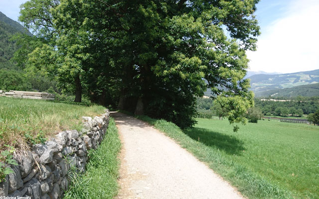
The starting point of the hike is the car park at the church in Vahrn. Hiking trail no. 1 starts directly from the car park, which follows the road "Keschtenweg" and, in keeping with its name, leads past a beautiful old chestnut forest above Vahrn. These centuries-old chestnuts are really very impressive. Shortly after the chestnuts and a few houses, we reach an open meadow with a great view of the Plose and the Brixen valley basin.Up to the chestnut forest, the path is asphalted and therefore easy to master. However, the Keschtenweg leads along a bend, which is quite steep at approx. 20%. As soon as you reach the meadow with the great view, the path changes to an unpaved gravel path.
Shortly afterwards, the trail runs through the forest again, and the surface changes accordingly. At a junction, follow trail 1, which now continues to the right towards the lake. The surface becomes a little bumpier in this section, but it is still easy to manage.
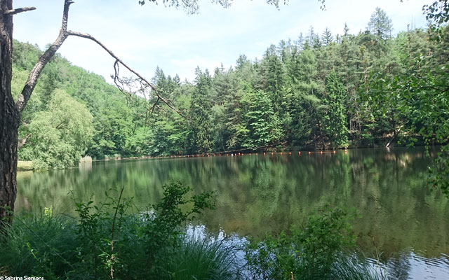
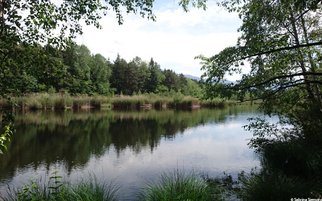
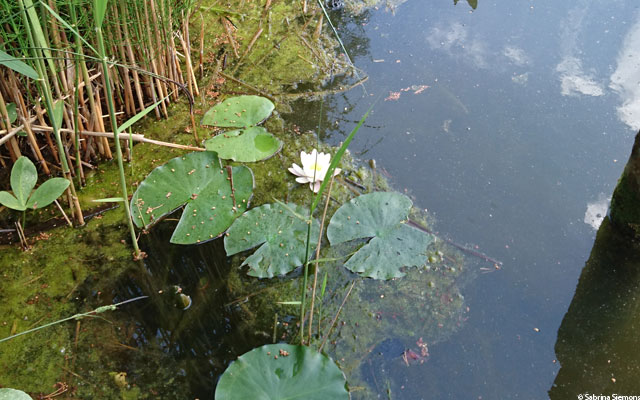
After a small descent we reach a flat, sunny path, which runs next to the railway line to the parking lot of the campsite Vahrner See. On the road, which is now asphalted again, we turn left in the direction of Gasthof Zum See. Passing the inn on the left, the trail continues, here again as a wide forest path. At the beginning it is a bit bumpy, with stones and roots, but with a little care you can manage them well, after which it becomes more pleasant again. Near the lake there are some information boards describing the peculiarities of the local flora and fauna. The northern shore of the lake is suitable for swimming, while the southern part has a dense reed belt and is protected. Especially outside the bathing season the lake is an oasis of peace. Our tour ends at the bathing station, as the lake cannot currently be circumnavigated.
The way back is the same as the way there.
Trail conditions
The first part follows an asphalted road and then turns into a forest and meadow path, which however has been reconditioned with fine gravel.
Directions
Via the Brenner road SS12 in the direction of Brixen and in Brixen in the direction of Vahrn. In Vahrn park in the car park at the church.
Time requirement
There and back in total about 2 1/2 hours.
Difference in altitude
On this tour there are only slight ascents, therefore only a difference in altitude of approx. 100 m is mastered.
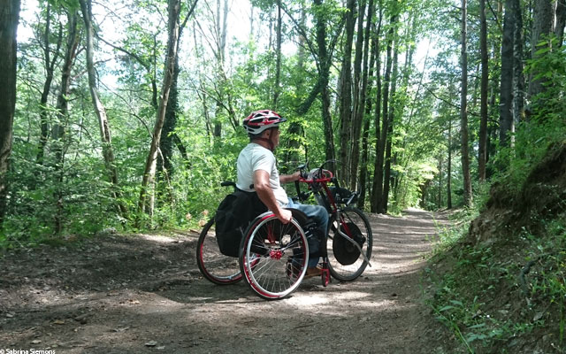
Suitable wheelchair
- Wheelchair with traction device
- off-road power wheelchairs
Accompanying person
An accompanying person is not necessary.
Level of difficulty
Easy
Explanation
The trail has hardly any inclines, the trail conditions are flat throughout and well developed. There are no significant climbs or descents and an escort is not required.
Accessible toilet
Unfortunately, there is no barrier-free WC on this route.