Trip description
From Fiè allo Sciliar to Prösels
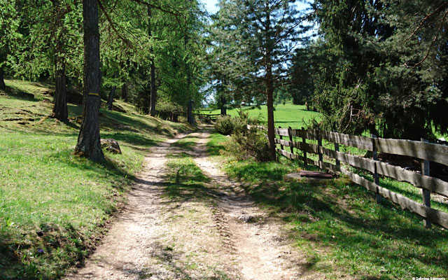
We start at the roundabout in Fiè allo Sciliar and first follow the road back towards Bolzano (past the petrol station). Shortly before leaving the town, turn left up into the vineyards and apple orchards. This is where trail no. 6 begins, which continues first on an asphalt road and then on a gravel path. Shortly after the gravel road begins, it descends quite sharply with a gradient of approximately 15% - 20% and then immediately climbs back up to the previous altitude. The trail is fairly rough gravel, so it makes sense to back up the incline. An escort should give directional instructions here if in doubt. After that, the path turns into a wide forest path, which leads to a small settlement of houses with gradients of up to 5%.
After crossing the bridge over the Völser Bach stream, turn right and follow hiking trail no. 6 in the direction of Prösels. The trail remains unchanged in terms of condition until the Umser Mühlele same, with short climbs around 5-8 %, before it then changes from a forest/meadow path to a gravel path and finally to an asphalt road again. Following the road, we again reach a bridge, this time over the Umser Brook. Shortly after the bridge, hiking trail no. 3 starts off to the right and we follow the trail and thus reach Prösels after about 4 km, passing a small herd of alpacas. However, on hiking trail no. 3 there is another uphill slope to master, this time with about 15-20 %. If you want to avoid this climb, you can also take the normal road from the bridge over the Umser Bach (but beware of the traffic). Shortly before Prösels, hiking trail no. 3 and the road meet, so that both trails can be ridden well.
From Prösels to the Schnaggenkreuz
In Prösels we take the second turn to the left and climb up through the village in the direction of the Schnaggenkreuz, past the small Prösel church. This part is still asphalted and therefore easily doable with the gradient of approx. 15% - 20%. Following the road straight on, we cross a gate and find ourselves on a gravel path. This is hiking trail no. 5 in the direction of Schnaggenkreuz. The gravel here is also relatively coarse, so it's better to backtrack in some places (depending on your traction motor & grip). The gradient remains between 10% - 15%. After crossing a gate again, the trail splits. Trail #5 goes slightly uphill to the left, trail #5B curves to the right into a sparse forest.
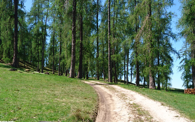
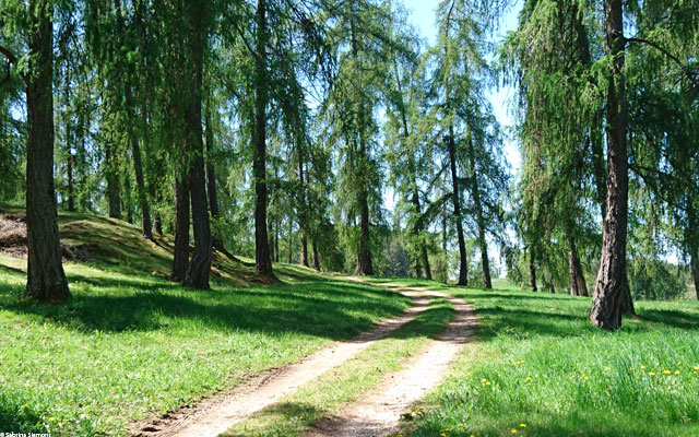
We follow trail 5B and conquer the next section, which again has a gradient of approx. 15%. Once the forest is reached, the trail continues rather leisurely on a meadow path (max. 10%). Depending on the weather, there may be muddy patches on this section as the path is used by both tractors and cattle. Follow the path along the edge of the forest for about 500m. At the next junction several hiking trails leave - unfortunately poorly signposted. Since we want to get to the Schnaggenkreuz, we take the left path (Attention - could be muddy in rainy weather). A short time later we reach a clearing where cattle roam freely in summer. Follow the meadow path (now hiking trail no. 7) straight across the meadow past a small wayside cross and a bench to reach the Schnaggenkreuz.
From the Schnaggenkreuz back to Völs
After a short rest at the Schnaggenkreuz and a view over the surrounding mountains, we head back in the direction of Völs. We now take hiking trail no. 6 back, which, after crossing a gate, leads back to the Schneiderlein via an asphalt road with a 15% gradient. Those who took the normal road at the beginning already know this building. At the crossroads we now follow the road to the right (which is also marked as a hiking trail) back to the Hofmüller farm settlement (also the name of the bus stop, among other things). Here we follow the already known hiking trail no. 6 past the Umser Mühlele back to Fiè allo Sciliar.
By loading the map, you accept Google's privacy policy.
Learn more
Trail conditions
In Völs asphalted road. From Völs to Prösels unpaved but well maintained hiking trail. From Prösels to Schnaggenkreuz initially unpaved forest road with light gravel, then meadow path. From Schnaggenkreuz, the road is then temporarily asphalted again.
Directions
From Blumau in the direction of Völs am Schlern/Seiser Alm. In Völs am Schlern turn left at the roundabout. There are parking spaces on the right-hand side, directly behind the information board.
Time requirement
Outward and return journey in total approx. 3 hours. If you shorten the route from Prösel, the time is reduced by approx. 1 hour.
Difference in altitude
On this tour approx. 300 meters of altitude are overcome.
Suitable wheelchair
- Wheelchair with traction device
- off-road power wheelchairs
Accompanying person
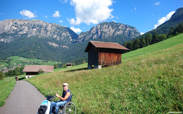
A companion should be present for the steeper passages. The path also leads along or across meadows and can be muddy depending on the weather. Someone who can chase away cattle standing in the way is also sometimes useful.
Click the button below to download the content of www.komoot.de.
Level of difficulty
Medium
Explanation
This is a tour for advanced riders who are not deterred by 20% uphill or downhill and have a companion with them who can assist on the one or other steeper section or in muddy places. It is also often necessary to ride backwards.
Resting facilities
Tested:
- Restaurant Umser Mühlele ( 800 m): The restaurant Umser Mühlele is located on the hiking trail between Völs am Schlern and Prösels. The terrace and the interior are easily accessible by wheelchair, unfortunately there is no barrier-free toilet here.
- Prösels Castle ( 880 m): You can reach Prösels Castle via a small detour by not turning left in Prösels, but by following the road straight on in the direction of the signs for Prösels Castle. At the castle there is a small café where you can get cold drinks & snacks. The café itself is located on a small hill and is not accessible without assistance.
Accessible toilet
Barrier-free toilets are available at Prösels Castle.


